Introduction to Geomorphology

Understanding Geomorphology: A Journey Across Earth’s Landscapes
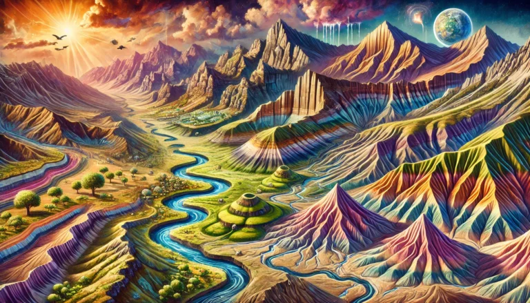
Imagine yourself standing on a high mountain peak, gazing down at the vast plains, winding rivers, and deep ocean basins. Have you ever wondered—how did these landforms come into existence? What forces shape our planet’s surface?
Welcome to the world of Geomorphology—the science that studies Earth’s surface features and the processes that create and modify them.
What is Geomorphology?
At its core, Geomorphology is like a detective story of Earth’s landscapes. It describes and analyzes the topographic features (relief features) of the Earth’s surface—mountains, valleys, rivers, plateaus, and even ocean basins.
🔹 Just like a sculptor carves a statue from stone, nature continuously sculpts Earth’s surface through powerful internal and external forces.
But how do we study these landforms? Geomorphology is organized into three broad categories:
Scope of Geomorphology
To make sense of Earth’s landforms, geomorphologists study them through three key perspectives:
1️⃣ Dimensions and scales of relief features – Classifying landforms based on their size and hierarchy.
2️⃣ Processes shaping landforms – Studying the forces (internal and external) that create and modify landscapes.
3️⃣ Approaches to geomorphic studies – Understanding landforms through their historical evolution or their present-day functioning.
Let’s start with the three orders of relief features, which are like different “levels” of Earth’s landforms.
Three Orders of Relief Features
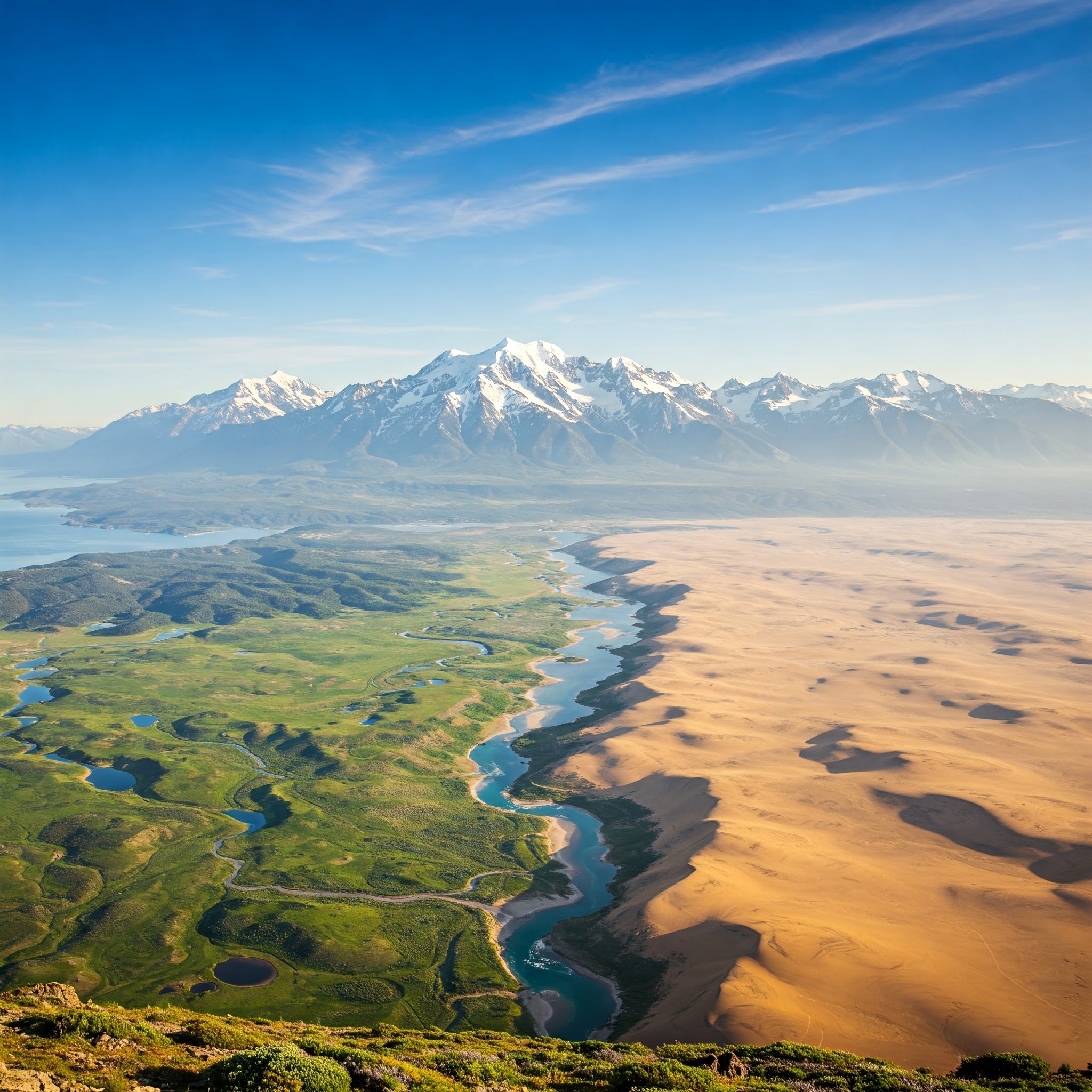
Imagine looking at a globe from space—you first see massive continents and oceans. As you zoom in, you notice towering mountains, vast plateaus, and deep valleys. Going even closer, you see rivers carving valleys, sand dunes shifting in deserts, and glaciers shaping the land.
This is how relief features are classified into three orders:
🔹 First-Order Relief Features (Largest Scale)
🌍 Continents and Ocean Basins
- These are the largest landforms on Earth, covering entire continental and oceanic structures.
- They form the foundation for all other landforms.
- Example: The African continent, the Pacific Ocean basin.
🔹 Second-Order Relief Features (Structural Landforms)
⛰️ Mountains, Plateaus, Rift Valleys, Faults, Lakes
- These are the large landforms found within continents and oceans.
- Their formation is mostly due to endogenetic forces—powerful internal forces that shape Earth’s crust.
➡️ How are they formed?
- Diastrophic Forces (Slow) – Cause mountain building, folding, and faulting (e.g., Himalayas, Great Rift Valley).
- Catastrophic Forces (Fast) – Include volcanic eruptions and sudden earthquakes (e.g., formation of new islands after volcanic activity).
🔹 Third-Order Relief Features (Micro Landforms)
🏔️ Valleys, Cirques, Sand Dunes, Floodplains, Eskers, Inselbergs
- These are smaller landforms that develop on second-order features through exogenetic (external) processes.
- Shaped by weathering, erosion, deposition, and sometimes minor tectonic movements.
➡️ Types of Third-Order Landforms:
- Erosional Landforms – Created by erosion (e.g., River Valleys, Glacial Valleys, Karst Valleys).
- Depositional Landforms – Created by sediment deposition (e.g., Deltas, Floodplains, Drumlins).
- Residual Landforms – Left behind after erosion removes softer material (e.g., Monadnocks, Inselbergs).
Each of these features tells a story of Earth’s transformation—a continuous process of construction and destruction.
Forces Shaping the Landscape
The Earth’s surface is constantly changing due to two major types of geomorphic processes:
🔹 Endogenetic Processes (Internal Forces)
These forces originate inside the Earth and build landforms.
➡️ Examples:
- Diastrophism – Slow movements like folding and faulting (e.g., Himalayas).
- Volcanism – Fast movements like volcanic eruptions (e.g., Mount Vesuvius).
🔹 Exogenetic Processes (External Forces)
These forces originate from the atmosphere and surface and wear down landforms.
➡️ Examples:
- Weathering – Breakdown of rocks by wind, water, temperature.
- Erosion – Removal of materials by rivers, glaciers, wind.
- Deposition – When transported material settles (e.g., formation of deltas).
Together, these forces create a dynamic balance—while internal forces build, external forces reshape and erode the land.
Approaches to Studying Geomorphology
To truly understand landforms, geomorphologists use two major approaches:
🔹 Historical Approach
📜 How landforms evolved over time
- Studies past geological events and how they shaped the present landscape.
- Helps in reconstructing Earth’s history (e.g., how the Himalayas formed over millions of years).
🔹 Functional Approach
⏳ How landforms function in the present
- Studies the current interaction between landforms and environmental conditions.
- Example: How a river’s flow changes with climate and affects land erosion.
Both approaches are crucial—one helps us understand the past, the other helps us predict future changes.
References
- Thornbury, W. D. (1969). Principles of Geomorphology. John Wiley & Sons.
- Strahler, A. N. (1981). Physical Geography. John Wiley & Sons.
- Summerfield, M. A. (1991). Global Geomorphology. Longman Scientific & Technical.
- Davis, W. M. (1899). The Geographical Cycle. Journal of Geography.
- Hutton, J. (1788). Theory of the Earth. Transactions of the Royal Society of Edinburgh.
- National Geographic. (n.d.). Geomorphology: The Study of Earth’s Surface. Retrieved from https://www.nationalgeographic.com/science/article/geomorphology