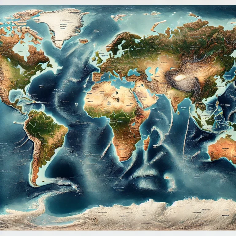
Introduction to Latitudes and Longitudes
Imagine you are an explorer navigating an endless ocean. You look around—there is only water everywhere. How do you know where you are? How can you tell someone your exact location so they can find you? This is where the system of latitudes and longitudes comes in—a global address system designed to pinpoint any place on Earth with precision.
A Grid Across the Globe
Cartographers and geographers have drawn an invisible grid over Earth’s surface, much like the lines you see on graph paper. These lines help us identify locations accurately. These are called:
- Latitudes – Horizontal lines running parallel to the equator.
- Longitudes – Vertical lines running from the North Pole to the South Pole.
Finding a Location: The Coordinate System
Now, let’s put both latitudes and longitudes together. Think of them as the X and Y axes on a graph.
For example, if you want to find New Delhi, its coordinates are 28° N Latitude, 77° E Longitude.
- This means New Delhi is 28° north of the Equator and 77° east of the Prime Meridian.
- Using these coordinates, you can pinpoint the exact location of any place on Earth.
Latitudes and longitudes are the GPS of the past—before satellites, explorers and sailors used these imaginary lines to navigate. Today, your smartphone, Google Maps, and international flights all rely on this system to function.
So, the next time you check your location on your phone, remember—you’re using the same system that helped ancient mariners sail across uncharted waters and modern pilots fly across continents!
Here is a YouTube video which will clear your concept on Latitudes and Longitudes


