Major Deserts of South America
Though often seen as a continent rich in rainforests and rivers, South America also hosts two major desert regions, each born out of unique climatic and geographical forces.

Atacama Desert — “The Driest Place on Earth”
Welcome to a desert where rain might not fall for decades — the Atacama Desert, also called the Peruvian Desert, stretches across northern Chile and parts of southern Peru.
- It lies between the Andes Mountains and the Chilean Coast Range — creating a two-sided rain shadow.
- This desert isn’t just dry — it’s hypo-arid, meaning it gets less than 1 mm of rain per year in some places.
🔍 Why is Atacama so dry?
Think of a perfect storm — but for dryness. Here are the five factors:
- Rain Shadow of the Andes – Moist winds from the Amazon basin rise over the Andes, cool, and drop their moisture before reaching Atacama.
- Offshore Trade Winds – These winds move from land to sea along the west coast, blocking moist sea air from reaching inland.
- Absence of Westerlies – Westerly winds, which could bring moisture, blow far south of the Tropic of Capricorn, missing Atacama.
- Subsidence from South Pacific High – This high-pressure system pushes air downward, warming it and preventing cloud formation.
- Cold Humboldt Current & Upwelling – The Humboldt (Peru) Current chills the air, reducing its moisture-carrying capacity, and further suppresses rainfall via Walker Circulation-induced upwelling.
📍 Result:
- The most arid zone lies between the Andes and the Coastal Range — a textbook case of a double rain shadow.
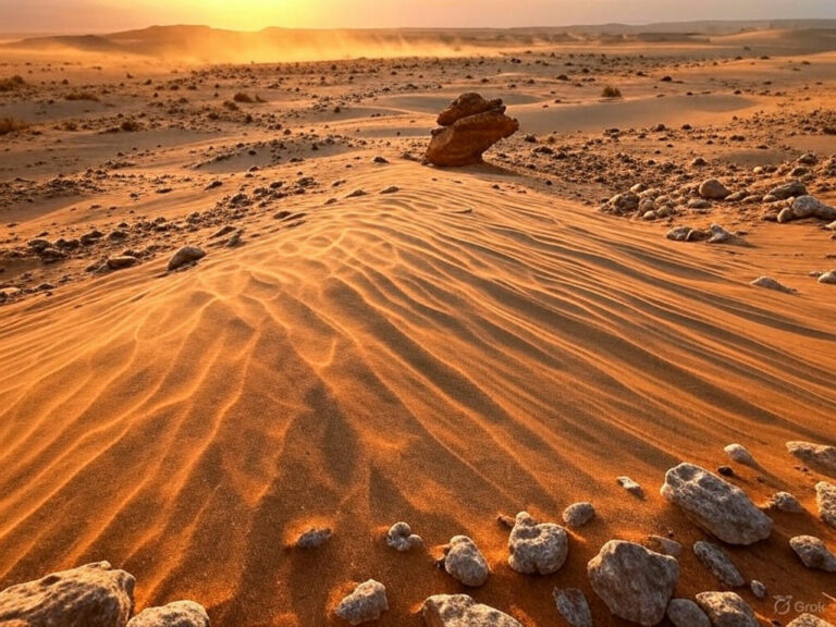
- The landscape includes salt pans, alluvial fans, and rocky terrains, with little to no vegetation.
When creating a diagram in exam in your answer writing for mains exam, you should ensure that it should be neatly enclosed in a box and accompanied by a well-labeled caption to enhance its readability. Effective illustration strengthens answer writing, making your explanation more impactful. Here is a diagram showing the rain-shadow effect in the Atacama desert:

Patagonian Desert — “The Cold Desert of the South”
Now move to southern Argentina, where the Patagonian Desert (also known as the Patagonian Steppe) unfolds across vast open spaces.
- It is South America’s largest desert and ranks among the largest cold deserts in the world.
- Located between the Andes (west) and the Atlantic Ocean (east), this desert forms part of Patagonia, a region we earlier met in agricultural zones.
🌦 Why is it dry here?
- Moist winds from the Pacific hit the Andes and release their rain on the western slopes.
- When the winds descend the eastern side (Patagonia), they become dry and warm — classic rain shadow effect again.
- Despite proximity to the Atlantic, cool ocean currents and stable air masses limit moisture transport inland.
🌾 Vegetation and Landforms:
- The terrain alternates between flat-topped plateaus (mesas) and river-carved valleys and canyons.
- Central zones are dominated by shrubs and herbs, while western areas, which get slightly more rain, support grasses.
Here is a diagram illustrating rain-shadow effect in Patagonian Desert:

Comparison of the Two Deserts
| Feature | Atacama Desert | Patagonian Desert |
| Location | Northern Chile & Southern Peru | Southern Argentina (Patagonia region) |
| Climate Type | Hyper-arid, warm desert | Cold desert / steppe |
| Main Cause of Aridity | Cold currents, rain shadow, high pressure | Rain shadow from Andes |
| Vegetation | Almost barren, salt pans | Shrubs and grasses |
| Unique Feature | Driest desert on Earth | Largest desert in Argentina |
Conclusion
South America’s deserts are not just barren lands — they are like climate laboratories, showing how ocean currents, wind patterns, and topography interact to shape landscapes.
While Atacama sets a global benchmark for dryness, Patagonia presents a classic example of a cold rain shadow desert.
Understanding them reveals the power of physical geography in sculpting both ecosystems and human activity in the region.


