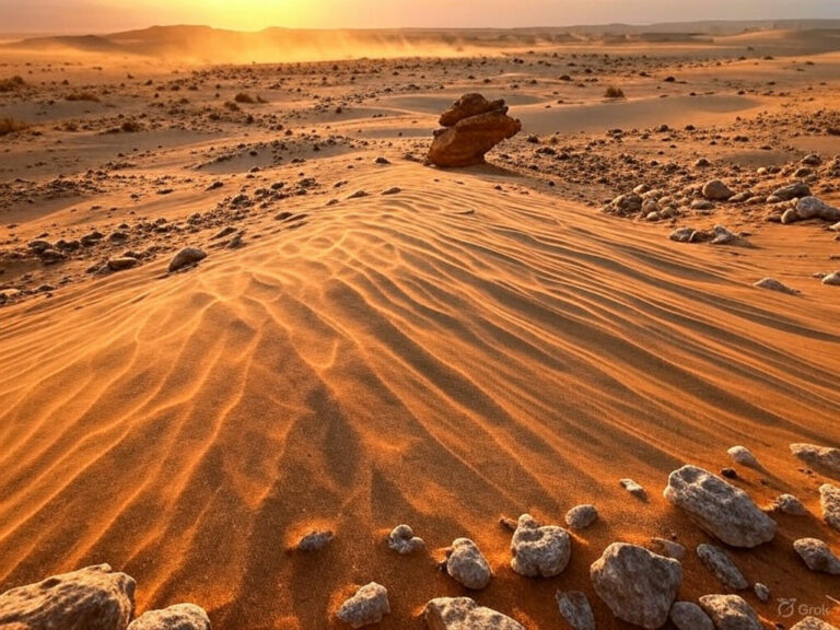
North American Desert
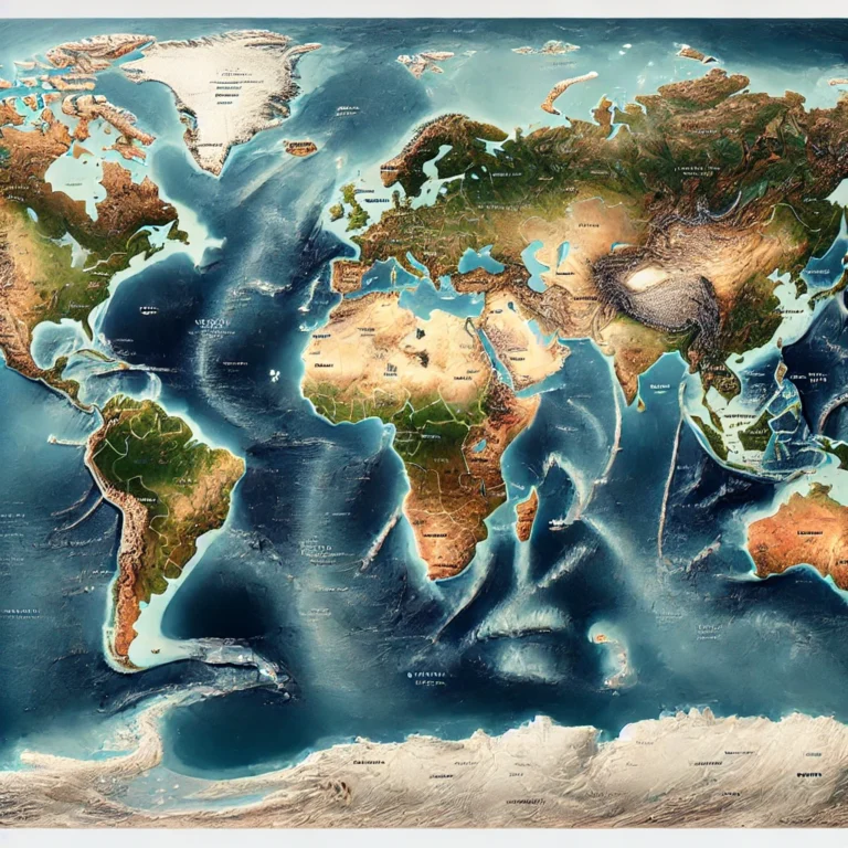
Let’s look at the map of North America. Now, focus on the western part of the continent. Between two major mountain systems—the Rocky Mountains to the east and the Pacific Coast Ranges to the west—lies a vast region that’s starved of rainfall. This is what we call the North American Desert.
Now, why is this region so dry? It’s mainly because the moisture-laden winds from the Pacific Ocean are blocked by the Coast Ranges and the Sierra Nevada, causing a rain shadow effect—which leads to arid and semi-arid conditions.
📚 Classification: Two Main Types of Deserts
Just like in Geography, we love classifying things! The North American Desert can be divided into two broad categories based on their latitude and temperature patterns:
1. Cold Mid-Latitude Deserts
➡️ These are deserts that experience hot summers but cold, snowy winters.
- Great Basin Desert
- Painted Desert (though not discussed in detail here)
2. Hot Mid-Latitude Deserts
➡️ These are deserts that are hot and dry, especially in summers, and relatively mild in winter.
- Chihuahuan Desert
- Mojave Desert
- Sonoran Desert

Let’s now understand some important ones:
❄️ Great Basin Desert – The Cold Desert
This is a bit of an exception in the USA—the only cold desert in the country.
- Location: Between the Sierra Nevada to the west and the Rocky Mountains to the east.
- Climate: Hot, dry summers but winters are snowy—a unique feature among deserts.
- Famous Features:
- Great Salt Lake in Utah
- Black Rock Desert
- Landscape: It’s like nature’s patchwork—deep valleys, flat salt pans, and parallel mountain ranges alternate beautifully.
- The landforms include saline basins, sagebrush-covered slopes, and carbonate-rich valleys—a truly geologically diverse area.
🌵 Chihuahuan Desert – The Largest Desert in North America
Now we come to the biggest player in the North American Desert family.
- Location: Spreads across northern Mexico and parts of the southwestern USA.
- Geographic Features:
- Rio Grande Valley
- Pecos Valley
- Mexican Plateau
- Topography: A mix of mountains, plateaus, valleys, and lowlands.
- Biodiversity: Interestingly, despite being a desert, it is one of the most biologically rich arid regions on Earth. Nature has adapted brilliantly here!
🔥 Mojave Desert – The Driest and Hottest
If the Chihuahuan Desert is the biggest, the Mojave is the harshest.
- Location: Located in the Southwestern United States, covering California, Nevada, Arizona, and Utah.
- Natural Borders: Includes Sierra Nevada as a boundary.
- Highlight: This desert houses Death Valley:
- The lowest point in North America: 86 m below sea level
- One of the hottest places on Earth, with temperatures often soaring above 49°C in summer.
🌴 Sonoran Desert – The Desert with Mountains and Valleys
This desert is shared between Mexico and the USA and has rugged terrain.
- Location: Stretches from northwestern Mexico to the southwestern USA.
- Landscape: Characterized by broad valleys interspersed with long, narrow mountain ranges.
- Important Ranges:
- Kofa Mountains
- Santa Catalina Mountains – interestingly, they receive snow!
- Sierra San Pedro Mártir
- Laguna Mountains
So even within a desert, you can find microclimates—snow in the mountains and hot sun in the valleys.
🇨🇦 Osoyoos Desert – Canada’s Only Desert
Yes, even Canada has a desert, though it’s much milder than its American cousins.
- Location: Found in British Columbia, in the southernmost part of the Okanagan Valley.
- Climate: Semi-arid—hot, dry summers and mild winters.
- Highlight: Osoyoos Lake—the warmest freshwater lake in Canada, which never fully freezes in winter.
It’s more of a dry shrub-grassland, but by Canadian standards, it qualifies as a desert!


