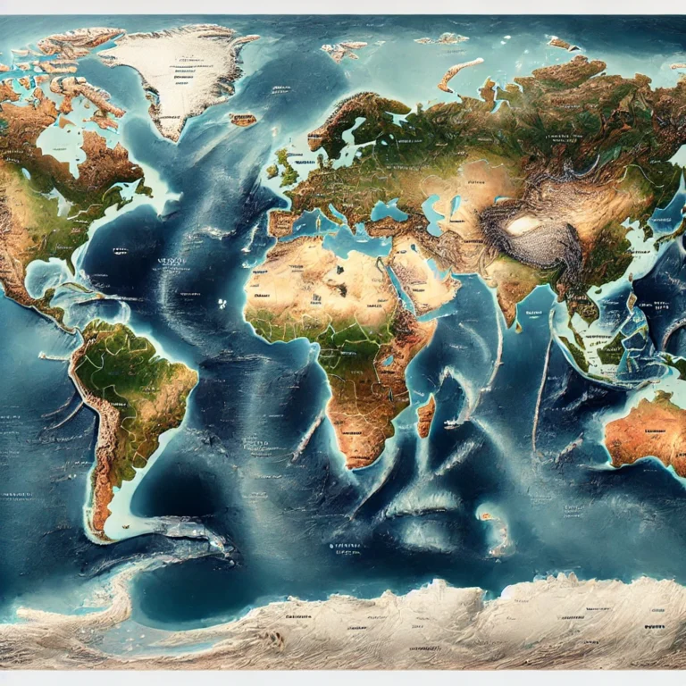
Political Map of North America and Central America
The political map of North and Central America showcases the sovereign countries along with their respective capital cities, providing a clear spatial orientation of the continent’s political geography. The continent is broadly divided into three sub-regions: North America, Central America, and the Caribbean Islands.
North America (Three major countries)
- Canada
- Capital: Ottawa
- Located in the northernmost part, Canada is the second-largest country in the world by area.
- United States of America
- Capital: Washington, D.C.
- Positioned centrally, the USA is a major global power with extensive coastlines on both the Atlantic and Pacific Oceans.
- Mexico
- Capital: Mexico City
- Lies south of the USA and forms the northern boundary of Latin America.

Central America (Narrow land bridge connecting North and South America)
This region includes seven countries stretching from southern Mexico to the Isthmus of Panama:
| Country | Capital |
| Guatemala | Guatemala City |
| Belize | Belmopan |
| El Salvador | San Salvador |
| Honduras | Tegucigalpa |
| Nicaragua | Managua |
| Costa Rica | San José |
| Panama | Panama City |
📝 Note: Central America is geostrategically significant, especially due to the Panama Canal, which connects the Atlantic and Pacific Oceans.

Caribbean Islands (Island nations east and southeast of North America)
A region of culturally diverse island nations and territories. The major countries and capitals shown on the map include:
| Country/Territory | Capital |
| Cuba | Havana |
| Haiti | Port-au-Prince |
| Dominican Republic | Santo Domingo |
| Jamaica | Kingston |
| Bahamas | Nassau |
| Puerto Rico (US) | San Juan |
Other island nations and territories also appear, such as:
- Barbados (Bridgetown)
- Trinidad and Tobago (Port of Spain)
- Grenada, Antigua and Barbuda, St. Lucia, Dominica, St. Vincent and the Grenadines, etc.
🧭 Quick Insight: Many of these islands are located in the Caribbean Sea and are part of a tropical maritime climate zone. Some are independent, while others are overseas territories of European countries (e.g., Guadeloupe – France, Cayman Islands – UK).
📌 Strategic Importance:
- Geopolitics: The region is significant due to the Panama Canal, key maritime routes, and strategic proximity between North and South America.
- Cultural Diversity: Central America and the Caribbean are a mosaic of indigenous, Spanish, African, and Anglo cultures.
- Disaster Prone: This region is vulnerable to hurricanes, earthquakes, and volcanic activity due to tectonic boundaries and tropical positioning.


