Techniques of Applied Geomorphology
|

Techniques of Applied Geomorphology

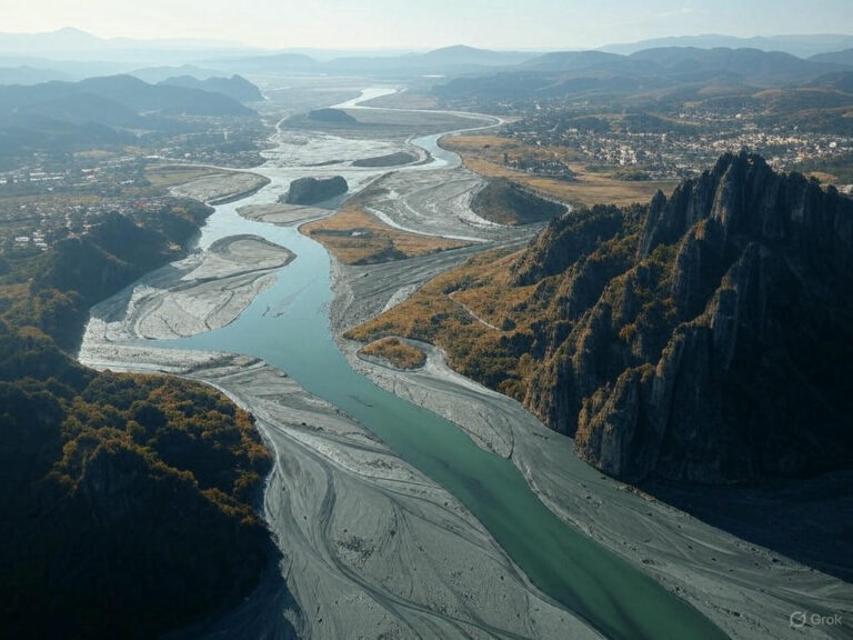
Applied geomorphology is where the study of Earth’s landforms meets human activity—a bridge between natural processes and human interventions. It helps in urban planning, disaster management, resource extraction, and environmental conservation. But how do geomorphologists actually work? Let’s explore their techniques, step by step. Mapping the Landforms Before making any decision about land use, we…

Specific Applications of Applied Geomorphology
|

Specific Applications of Applied Geomorphology

We consider here some of the applications of geomorphology to the types of problems commonly encountered by geologists, engineers, and planners. Geomorphology and Hydrology: The Connection Between Landforms and Water Availability Water is a fundamental resource, shaping civilizations and landscapes alike. But have you ever wondered why some regions have abundant groundwater while others face…

Applied Geomorphology: The Two Main Lines of Application
|

Applied Geomorphology: The Two Main Lines of Application

Suppose you are standing atop a hill, gazing at the landscape below. Rivers carve their way through valleys, roads snake around mountains, and cities expand over plains. The world we live in is not just a passive backdrop—it is a dynamic system that influences us, just as we influence it. Applied geomorphology helps us understand…